

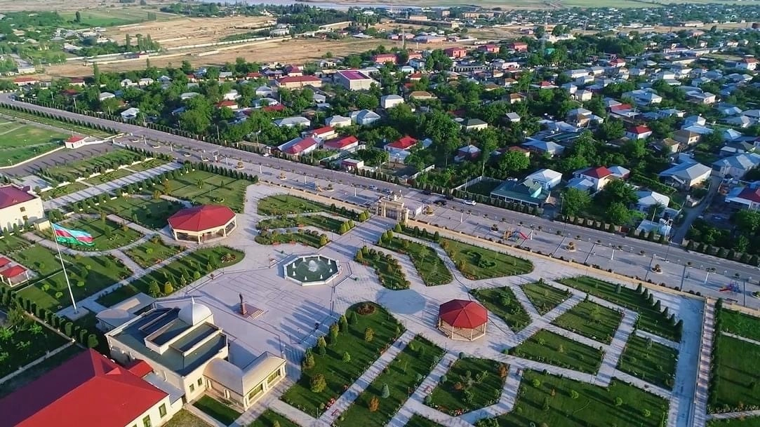
2023 – Reconstruction and Planning of Residential Areas
- Completed work: Geodetic, geological, hydrogeological surveys and integrated residential site planning.
- Location: Fuzuli, Lachin, Shusha (D-3), Zangilan (Aghali, Cahangirbeyli, city)
- Year: 2023
2023 – Reconstruction and Planning of Residential Areas
In 2023, Geoqazma MMC implemented a range of vital projects aimed at reconstructing and planning residential settlements across the Karabakh and East Zangezur economic regions. These initiatives supported the development of modern, safe, and sustainable residential infrastructure in liberated territories.
Area-specific Activities:
-
Fuzuli District – Pirəhmədli Village (2023):
Geotechnical analysis of the soil structure, groundwater flows, and terrain was conducted. Suitable construction zones were identified, and layout foundations for residential and public infrastructure were established. -
Lachin District – Gulabird Village (2023):
Phase II of the project included topographic and soil surveys for the placement of one- and four-story residential blocks, kindergartens, commercial facilities, and other public buildings. Soil bearing capacity and irrigation risks were assessed. -
Shusha City – D-3 Quarter and other areas (2023):
Seismic and geodetic assessments were conducted for 21 mid-rise residential buildings and one four-story building. Terrain modeling and technical planning documents were prepared for phased construction aligned with topographic features. -
Zangilan District – Aghali Village and surrounding zones (2023):
Planning was performed for 188 private houses, a tunnel crossing, multi-use buildings, production sites, a marketplace, and public barns. Engineering evaluations ensured site compatibility in terms of soil, hydrology, and relief. -
Zangilan District – Cahangirbeyli Village and Zangilan City (2023):
Complete technical analysis of new settlement locations was conducted, with site selection and risk assessments compiled to support the general master plan process.
Technical Approach:
Geoqazma utilized GNSS and total station technologies to perform precise topographic surveys, geological and hydrogeological evaluations. Digital maps and technical reports formed the foundation for master planning and urban development.